Pennsylvania Water Science Center
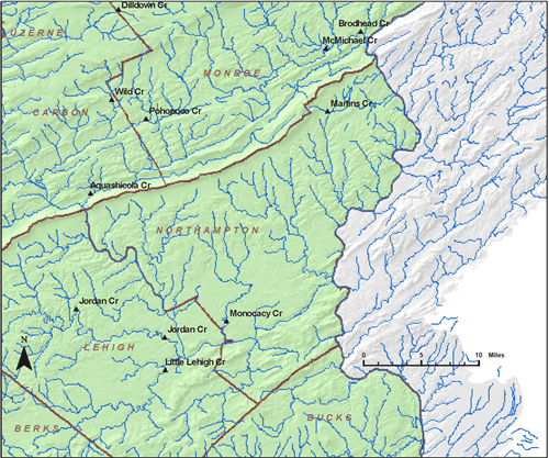
Select a streamflow gaging station (a table of stations is shown below the map). Only stations within the Northampton County map are active.
Station ID |
Station Name |
County |
Period of Record |
Drainage Area, mi2 |
| Martins Creek near East Bangor | NORTHAMPTON | 1962-1977 | ||
| Monocacy Creek at Bethlehem | NORTHAMPTON | 1949-2001 |

![]() U.S. Department of the Interior |
U.S. Geological Survey
U.S. Department of the Interior |
U.S. Geological Survey
URL: http://pa.water.usgs.gov/apps/recharge/counties/northampton.html
Page Contact Information: Pennsylvania WSC Webmaster
Page Last Modified: Thursday, 02-Feb-2012 09:56:36 EST

